Your Phone Is Not a Navigation Plan
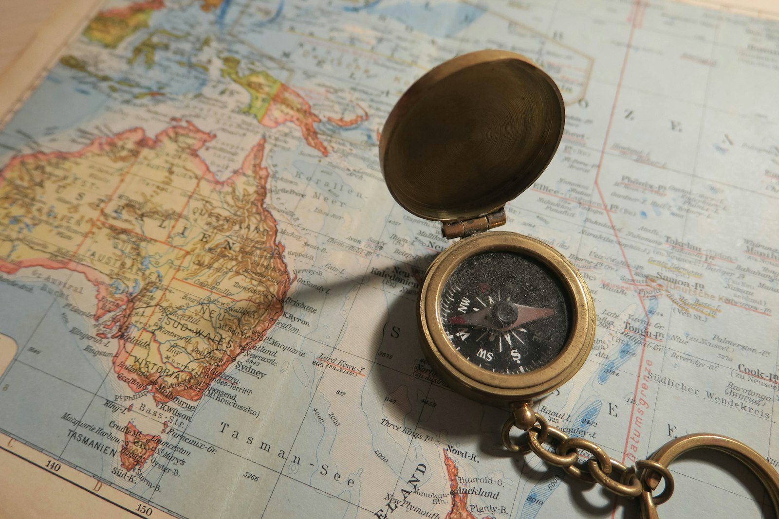
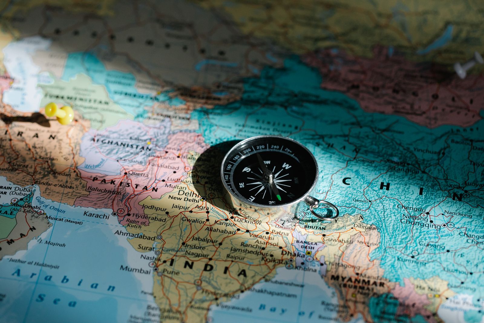
A GPS app is a great tool right up until the battery dies, the signal drops, or the screen cracks on a rock. This guide isn’t anti-technology — it’s about building a navigation setup that doesn’t have a single point of failure. That means knowing how to read terrain and a paper map well enough that losing your phone is an inconvenience, not an emergency.
What You’ll Actually Learn
We skip the theory-heavy stuff nobody remembers in the field and focus on what you use on trail: reading contour lines to predict what terrain looks like ahead, taking a bearing and following it, and cross-referencing your GPS against the map instead of blindly trusting either one. There’s a route-planning template built around distance, elevation gain, and water sources — the three things that actually determine how a day on trail will feel.
The Part Most Guides Skip: Bail-Out Points
Every planned route in this guide gets a bail-out worksheet: the points along your route where you can safely exit if weather turns, someone gets hurt, or you’re moving slower than planned. Knowing your exit options before you need them is the difference between a manageable problem and a genuine emergency. This is built for anyone planning their first real multi-day trek — not an expedition manual, a working system you’ll actually use.
This is a digital product delivered online. Because access is granted immediately after purchase, all sales are final once your access link has been delivered — see our disclosures for details.